Sierra High Route Couple’s Backpacking
Disclaimer: This post may contain affiliate links. Please see our Disclosure Policy for details.

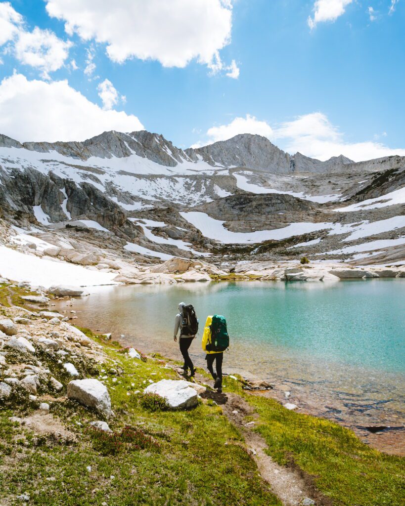
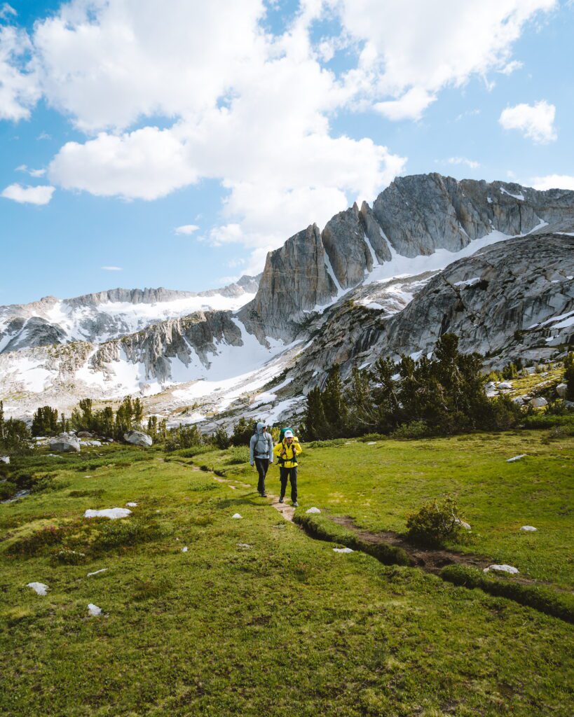
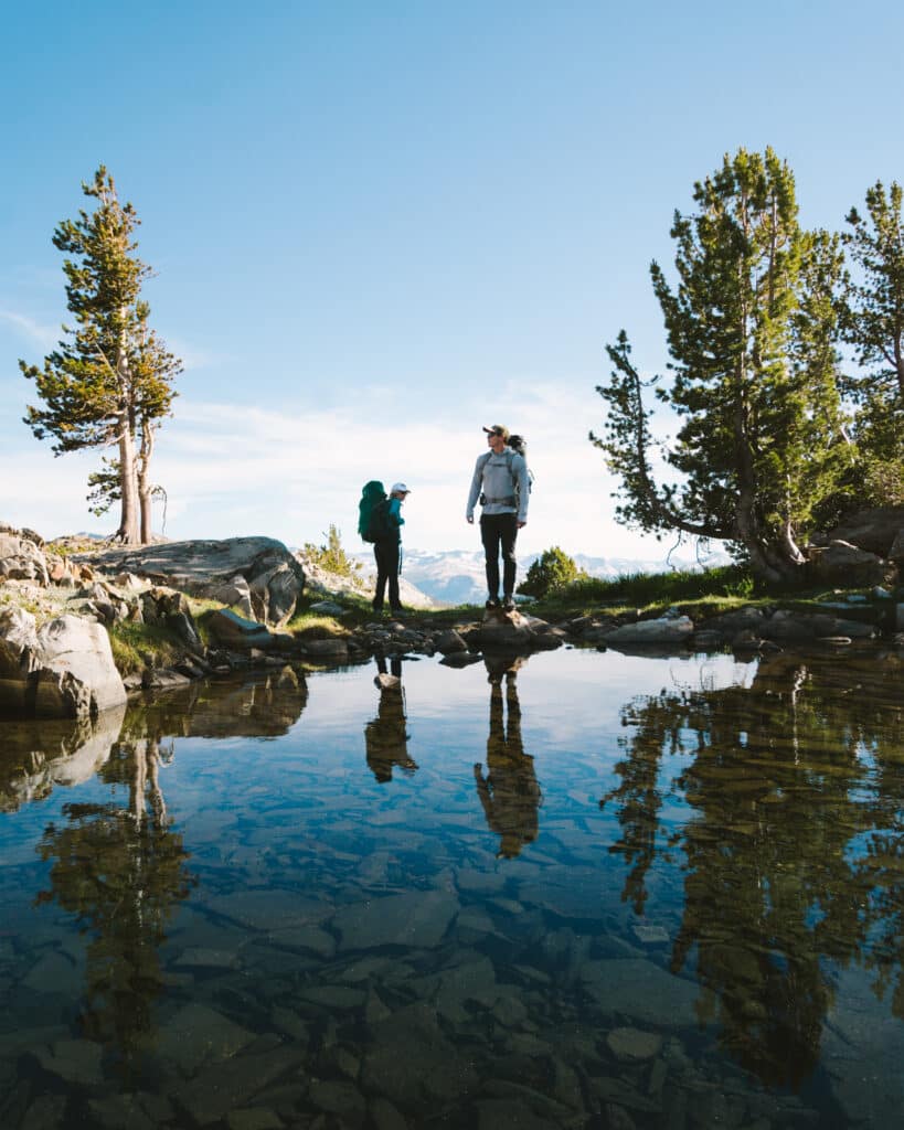
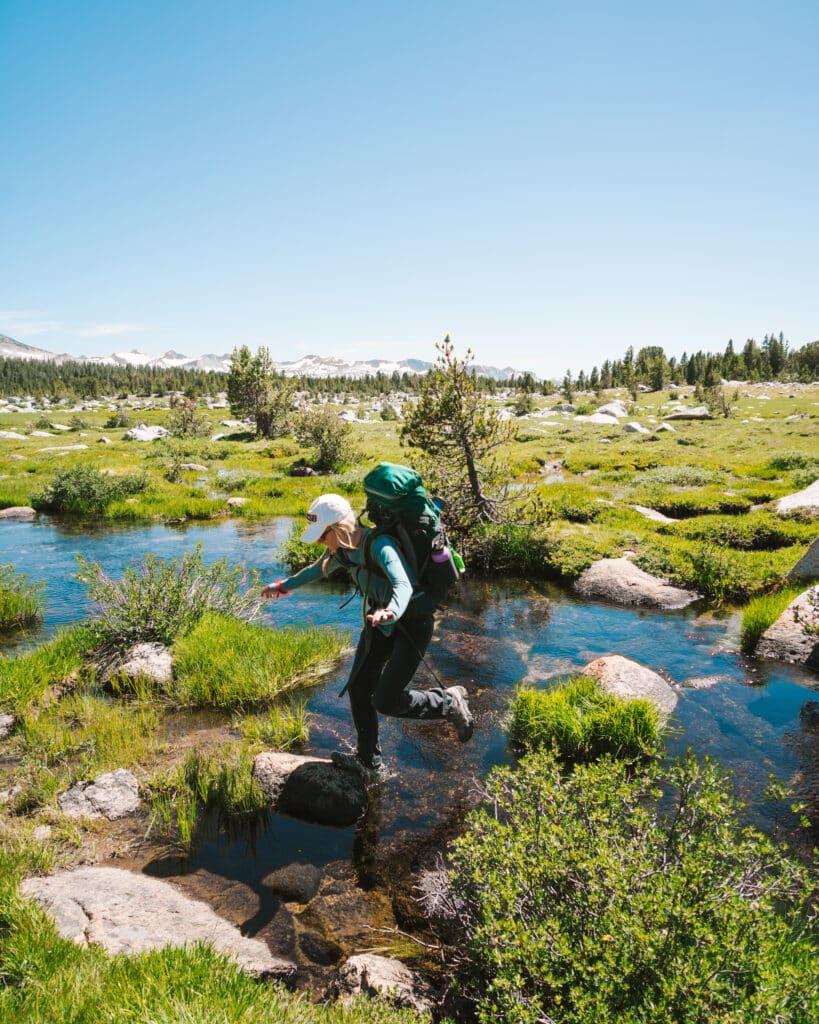
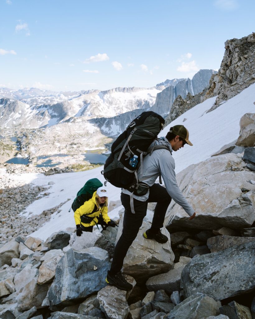
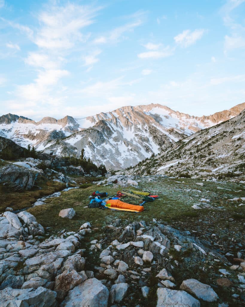
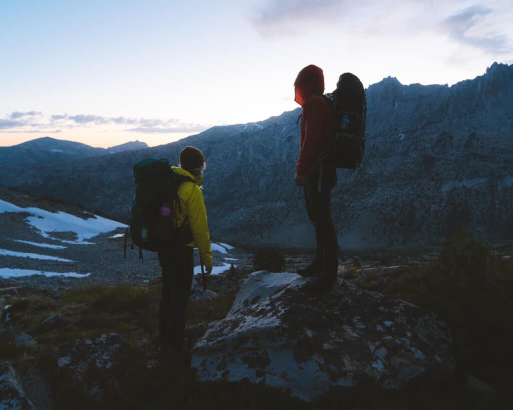
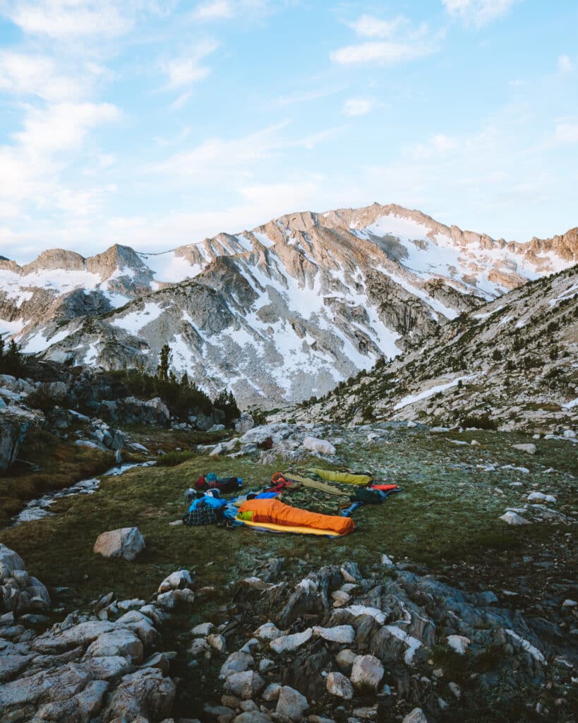
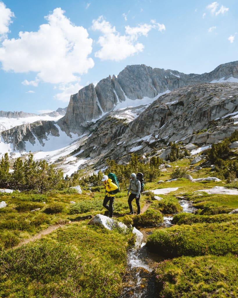
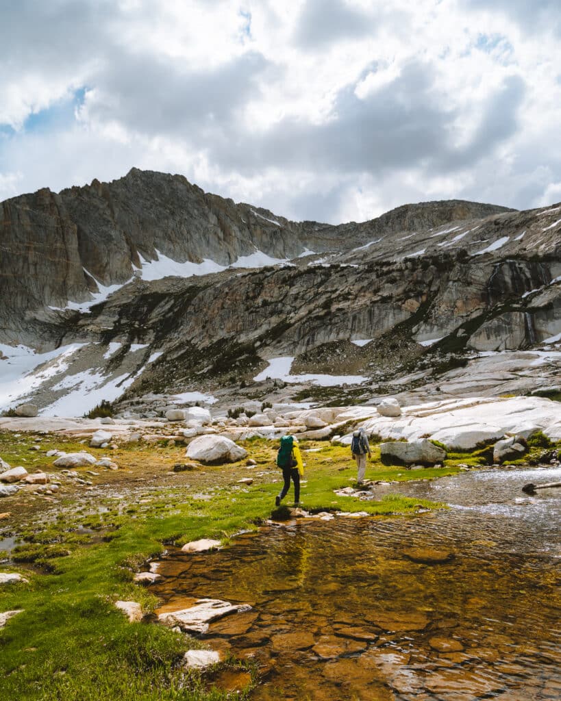
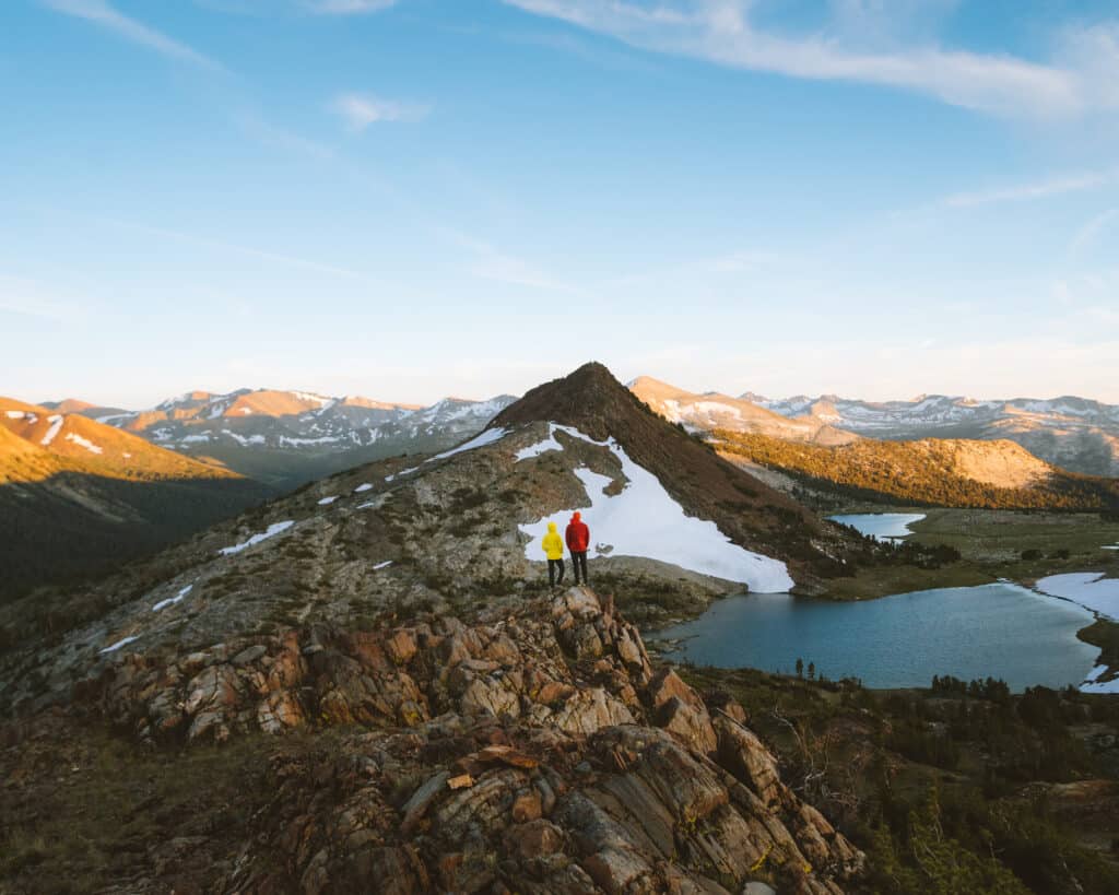
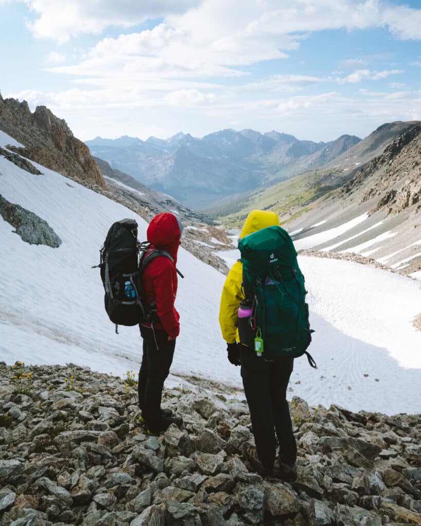
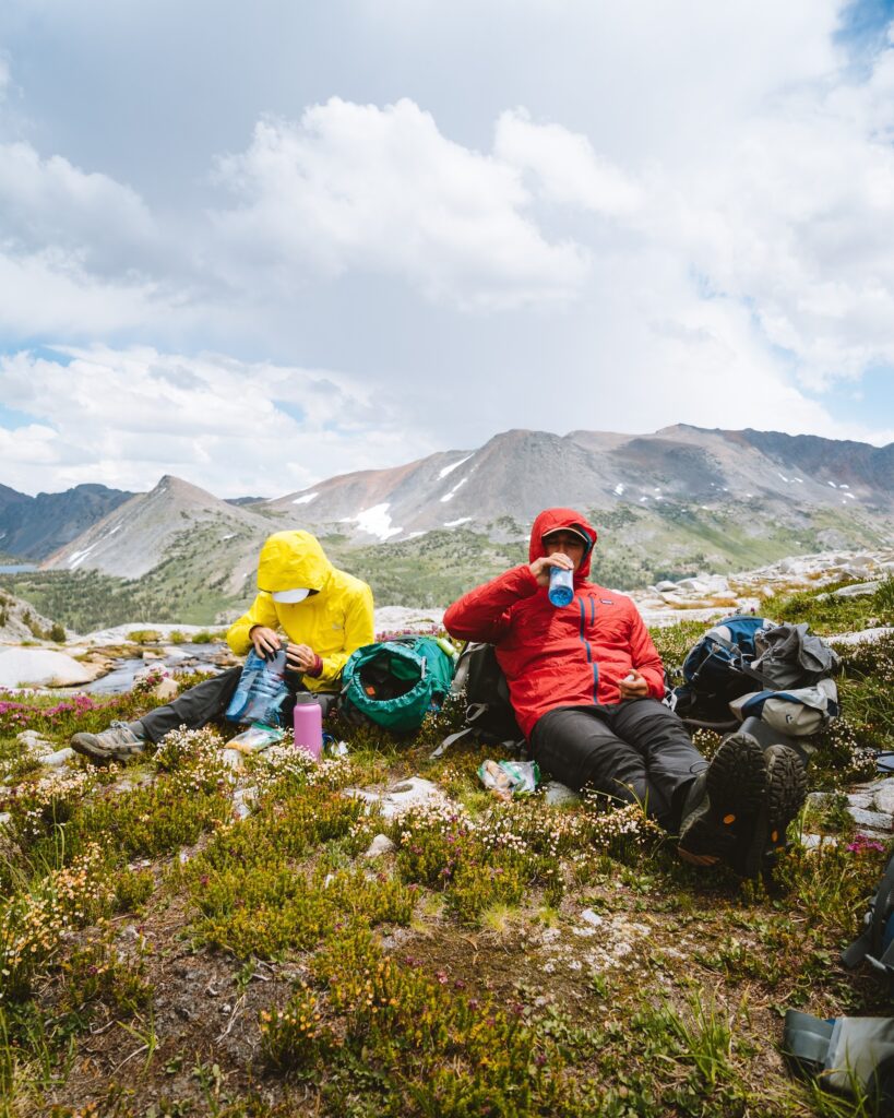
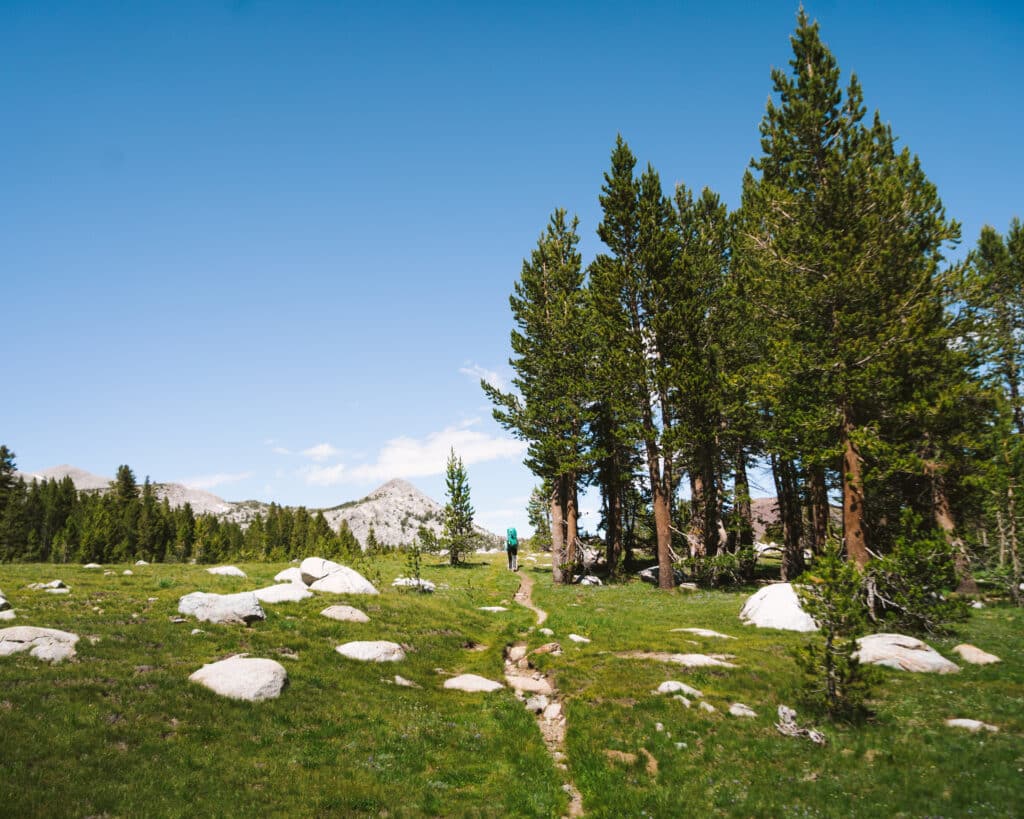

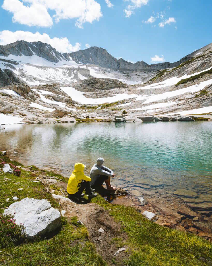
About the Area: The Sierra Nevadas offer SO much backpacking. Sierra High Route Couple’s Backpacking has been such a bonding experience for both of us. Our trek up Temple Crag was a great weekend warmup. My dad introduced the Sierra High Route about 7 years ago. Each summer we have been hiking leg by leg to try and finish the whole route. The last piece is the one that we got to endure. This leg goes from Tuolumne Meadows to Twin Lakes. It’s filled with gorgeous glacial lakes, lush forests, and lots of rock. When attempting this route, please make sure to follow the Leave No Trace Policy.
Preparation
Preparing for the trip is a lot of work in itself. One of our favorite quotes is “Failing to prepare is preparing to fail.” For the full list, check out our gear guide. We packed together so we could double check that we had all of the clothing, water purification, GPS, sleeping arrangements, and most importantly… the food. The food is definitely the hardest part because we had to carry a whole week’s worth of food.
We decided on some light dry foods and small snacks for breakfast and lunch with some delicious dinners. Breakfast turned out to be 3 packets of oatmeal everyday which was easy and very light. Lunch consisted of an array of snacks including pistachios, cashews, vegetables, beef jerky, and potato chips. Dinner was always the biggest meal and we decided that we liked the freeze dried Fettuccine Alfredo the best after a long day of backpacking. Once we finished prepping what we were bringing and got our Route description by the book The Sierra High Route by Steve Roper we were ready to hop on the road and begin our adventure.
Day 1 of Sierra High Route Couple’s Backpacking
The Sierra High Route Couple’s Backpacking trip that we started involved us parking a car at the trailhead for Twin Lakes. We had to pay to park our car for a few days and was 14 dollars. After parking the car, we carpooled to the start at Tuolumne Meadows Trailhead. We were all a bit nervous that we would not get permits because the trail is so heavily used. Luckily, we got our permit in a jiffy, threw on our backpacks, took a picture (of course), and headed on down the trail.
The first few miles we followed a trail that ran parallel to the road. We were singing songs we had listened to on the radio and passing people left and right. We saw more people that day then we would the rest of our trip combined. G had never been to Yosemite before so the landscape of Domes and greenery surrounding us put her in a surreal mood. I think between us we must have said “wow it is so beautiful” at least 100 times.
River Crossing
As we walked down the path we finally crossed across the road (the only time you cross a road on the high route in 195 miles) and continued uphill. Our first section of uphill was a nice warm up for what the rest of the trip would entail. Shortly after we reached our first river crossing. I remember untying my shoes, taking that first step into the water, and feeling my whole body go into shock as the snow melt was FREEZING cold. The river was only about 2 feet deep but we still held hands as we crossed to make sure we did not fall over.
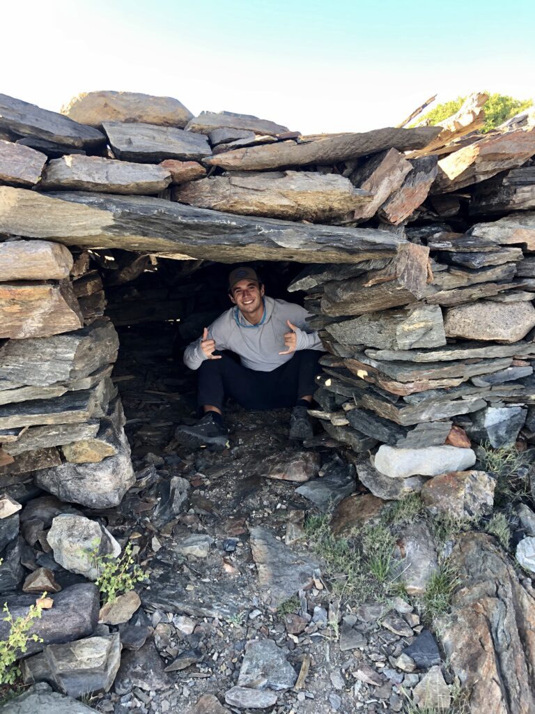
After we crossed the river the initial excitement of the day had settled down (aka we had not said wow it is so beautiful in 5 minutes). We continued through hills covered with flowers, surrounded by huge granite domes. It reminded us of why Yosemite is so popular. We finally reached Gaylor Lakes, our first landmark, stopped for a break and shot some pictures for a clothing company we love, LOT54 Goods. After our little photo shoot we continued on to our goal for the day, Mine Shaft Pass (pictured on the right).
Cross Country
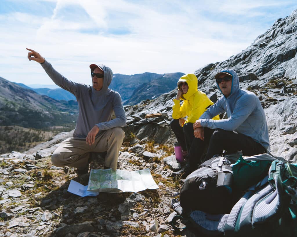
Sierra High Route Couple’s Backpacking continues once we left Gaylor Lakes. We were going cross-country. This means that there are no more trails. We were crossing the Sierras with just ourselves, the backpacks, our map, and GPS for comfort. Slowly zig zagging our way up a long incline before reaching a stunning view.
We could see Half Dome, the lower Gaylor Lakes, and all the meadows we had hiked through. I remember turning around and saying “G we are here!” when I saw the first mine on top of the hill. These mines were extremely old but looked as if they were still in great condition! We talked about what it would have been like to live here and the hardships of not having everything so accessible. After we cooked up dinner, and G pulled out astronaut ice cream for dessert. We hunkered down in our sleeping bags after a long day of driving and first day of hiking to watch the stars overhead and fall asleep.


Day 2 of Sierra High Route Couple’s Backpacking
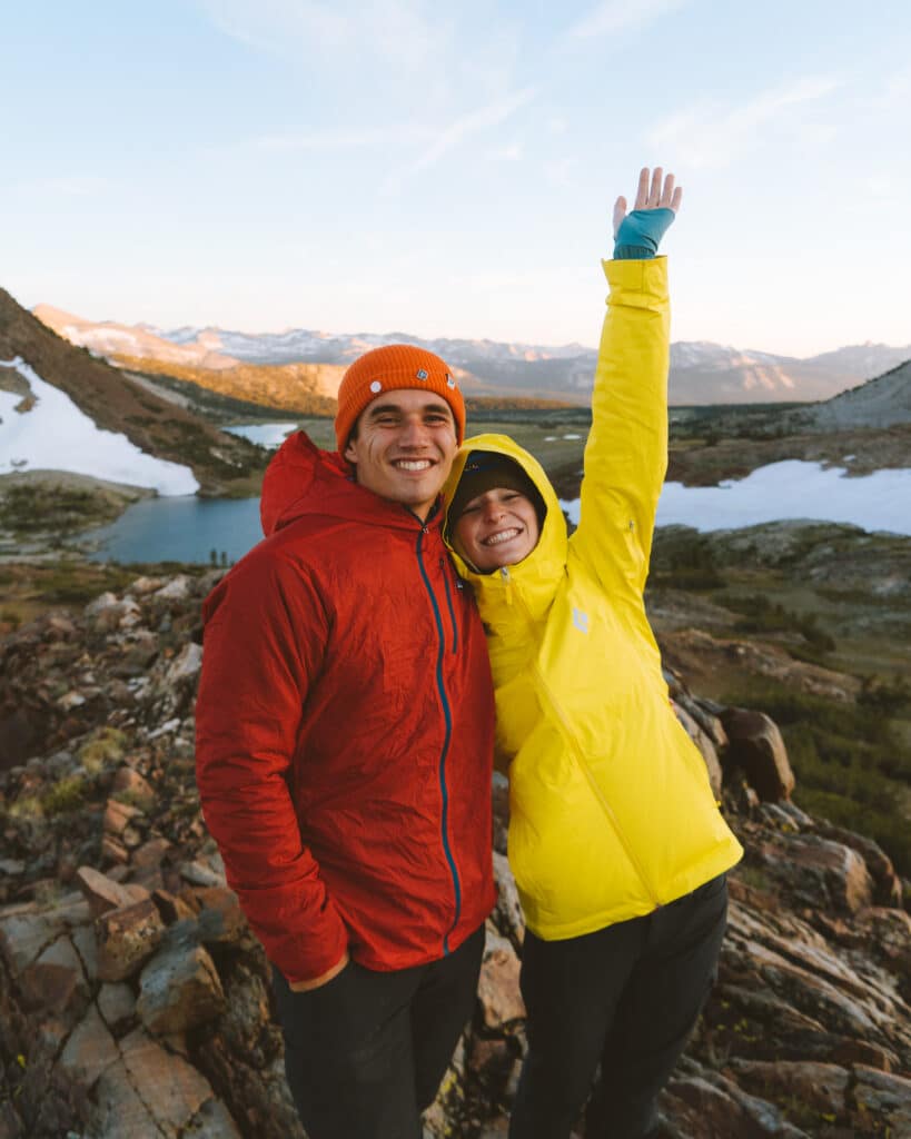
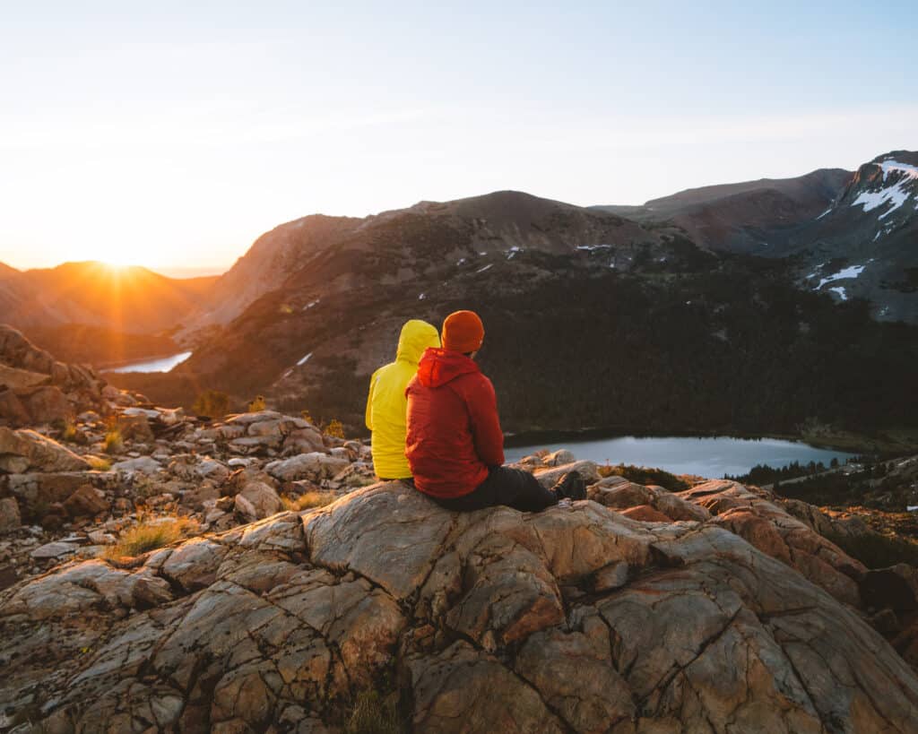
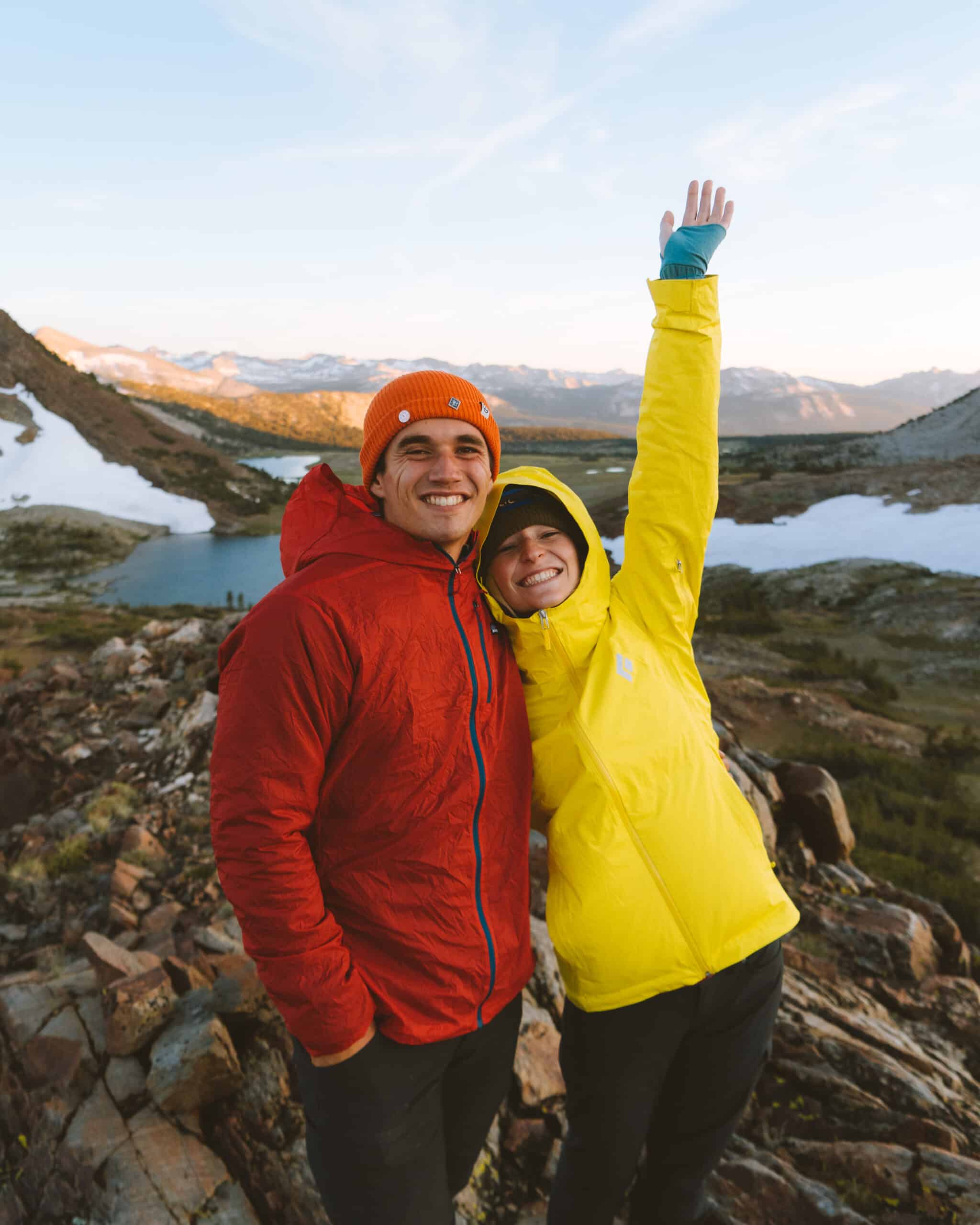
“Yo are you up?!” Whispered Chris as he woke G and I up. We had planned on waking up for sunrise on our Sierra High Route Couple’s Backpacking that morning and we were not disappointed. We sat next together looking like ketchup and mustard and enjoyed the stunning sunrise. It was so cold, but that just meant we had to cuddle up even more. After some sweet pictures of the morning we packed up and headed on down the pass. Our goal for the day was to climb Mount Conness (12,590 ft) and make it to Cascade Lakes.
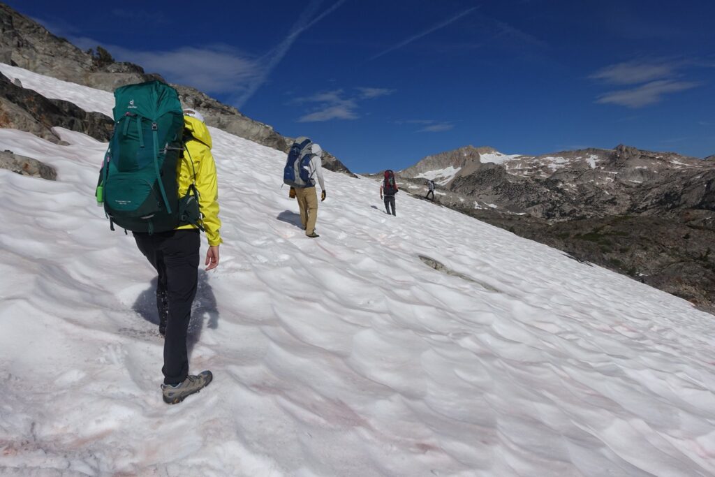
From Mine Shaft pass we traversed across a couple hundred feet of slap and snow until we reached some flat ground. I had spent a lot of time in Sierras with my dad so the slabs were nothing to worry about. The snow was fun because everyone was slipping and sliding so much we looked like newborn deer. We made a Vlog for the trip and I remember filming a section where G and Daniel were walking, when Daniel slipped and then immediately after G fell over and they both yelled “You are deleting that” because they did not want it to appear in the video. We hiked through about a dozen lakes and tarns before reaching the East Ridge of Mount Conness.
Mount Conness
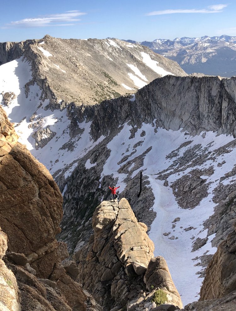
Mount Conness was our first peak bag of our Sierra High Route Couple’s Backpacking. It was a super fun peak that had every bit of a climb you could want. The first section was a scramble up some class 1-2 rock. Class 1 is stable ground, Class 2 is some hands and feet, Class 3 is using hands and feet but lots of good holds with exposure, Class 4 is lots of exposure with some hands and feet, and Class 5 climbing is when you should be roped in according to the YDS (Yosemite Decimal System).
The beginning was fun but was a little chossy (loose rock) for my taste. I really enjoyed when we reached this one caran (rocks stacked on top of each other to signify you are on route when there is no trail) and there was a big pile of rocks with a stunning overview of the ridge.
Do it for the picture!
I remember Chris asking me to climb up at least 4 times because the shot looked amazing and G shouting out “PLEASE don’t hurt yourself.” The mountain finally reached a section of class 3 which spooked the group. My dad and I finished the summit while the others started to head back down but the whole time our morale was high and the views were insane.
That is the best part about high sierra climbing, the views in all directions are just mind boggling. Getting to enjoy it with your significant other makes it even better. Today G still says “Man I wish I just went to the top and sucked it up” and I am sure we will go back to finish it together someday. If we are ever in a situation when we feel unsafe I have no problem turning around and coming back another time because in the end…it is just another pile of rocks.
Mosquitos
After our excursion up Mount Conness we headed back down to find some flat area to camp. I remember the 2nd day being the worst with mosquitos. Hiking near all these lakes is STUNNINGLY beautiful but can also be a total pain because of the mosquitos. We highly recommend bringing some bug repellant of some sort to help ward them off. Together we must have killed at least a thousand of the flying pests.
We were all pretty exhausted from the epic adventure of the day. Some of my favorite memories from the trip were not only climbing the crazy peaks but also just sitting around camp. In a relationship, it is very important to see your significant other in as many situations as possible to see how they handle themselves and react to certain events. That day we bonded a lot over exhaustion, food, rest, pests, and grew closer helping each other through the hardships.
Day 3 of Sierra High Route Couple’s Backpacking
On day 3 of our Sierra High Route Couple’s Backpacking trip, we continued toward North Peak. The water here was the bluest we had seen because of the glacial melt. My dad and I continued to do some peak bagging. We climbed North Peak that morning while Daniel, G, and Chris enjoyed the beautiful weather. I remember sitting in silence cuddling G with the surrounding peaks lurking overhead. Once we finished relaxing for the early afternoon we threw on our packs and set out for our next upward trek.
The route finding from Cascade Lake to our next checkpoint was the easiest part of our Sierra High Route Couple’s Backpacking. We hopped over a few streams, enjoyed the array of flowers, and started heading uphill. We looked back at one point and G could not believe how far we have come. On day 3 of the trip it occurred that it was a long way back and we still had plenty of mountains to overcome. It is so great hiking with your significant other because you can keep each other motivated no matter what hardships are ahead.
Sky Pilot Col
We finally reached Secret Lake, a small tarn that looked up to see Sky Pilot Col. The next spot we were heading was about 2,000 ft above us. I remember the grunts as we struggled and then myself hollering “woohoo this is epic.”. The view every time we looked down just got better and better. It was insane because we could see where we were going to sleep that night in the distance. My dad and I decided that we wanted to try and bag another peak so we headed up another ridge.
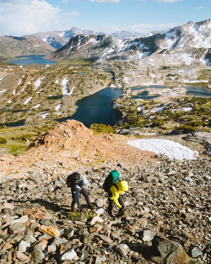

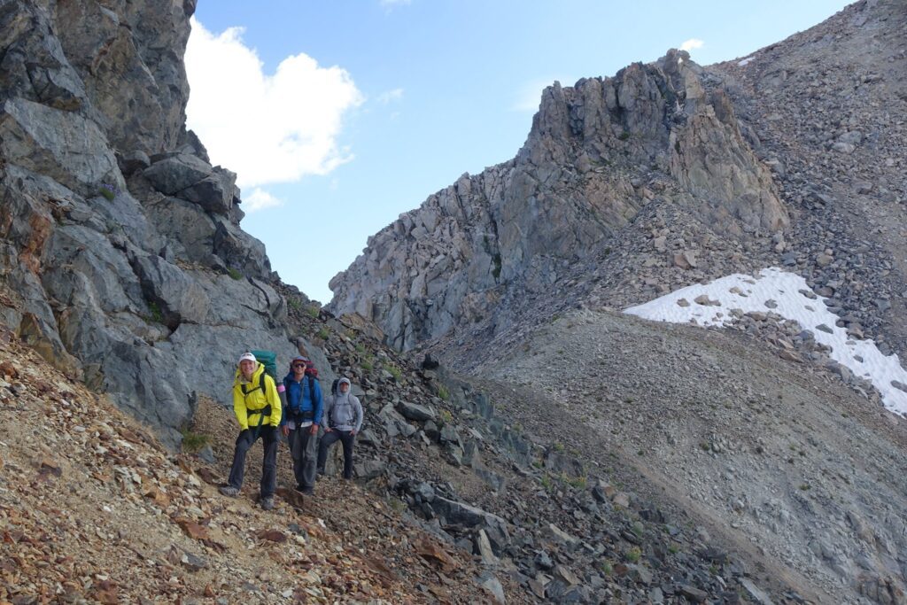
My dad and I realized we were not going to reach the top of our peak before dark. We turned around and were sprinting down the mountain to catch the rest of our crew. This was the moment when my jaw dropped as we saw the most beautiful sunset I have ever seen. The sound of our voices were echoing through the mountain because we could not keep quiet. The terrain was filled with snow and talus (rock that is bigger than a fist size). We all slept great that night from our 3rd day of hiking through the Sierras. We did not know the following day would be the most challenging of the trip.

Day 4 of Sierra High Route Couple’s Backpacking
Day 4 of Sierra High Route Couple’s Backpacking started off with a lot of downhill. We went through trees, wet floor, and dry air until we reached a massive mountain we needed to overcome. The next stop on our adventure was Soldier Lake which sat at the top of this challenging terrain. We were all hurting as we marched up the hillside which seemed to just get steeper as we went.
Struggling together
G would continually tell me to go ahead but we were a team and we were going to reach the top of this together. The hill side was a lot of silent hiking besides the crunching of dead trees and pine cones. The 2nd half as it neared noon was where the hangry talk of food started to come. We were saying “hamburgers, pizza, cheesecake” to inspire our bodies to keep pushing. It took a few hours but together we conquered that pass and reached Soldier Lake. Food always seems to be something G and I have bonded over. We both were eating to fill up our tanks before heading to Stanton Pass, our next obstacle to overcome.
Stanton Pass
As we were eating lunch we looked to the sky to see some huge clouds forming. Just our luck…it began to rain. The rain was pretty fun as we laughed and stuck out our tongues. We were very careful to value each step because falling and hurting ourselves was not an option. We brought trash bags to throw over our backpacks so all of our clothes and food would not get too wet. Highly recommend adding this to your packing list in case of bad weather and making sure you have great shoes so no matter what kind of weather or terrain.
Getting stuck in a rain storm!
The rain was fun as we danced around until the loudest strike of thunder I have ever heard hit. This is where the adventure began. It was raining which soon turned to hail until we had to stop hiking. It was quite surreal looking around and seeing these massive snow covered mountains and being caught in a Sierra Storm. Luckily, most afternoon storms in the Sierras only last a short period of time.
The crazy clouds and interesting light did give it a very moody feel until the sun poked out and gave us hope. Standing there in the hail with the wind blowing really makes your mind wander. I remember there was a moment where a ray of sun hit G and I as we sat taking a break trying to regain warmth and I saw her smile from ear to ear. I still remember those feelings and laughs that we got to experience as we hiked to Stanton Pass like it was yesterday.
Virginia Peak
Once we reached Stanton Pass everyone needed a break. G, Daniel, and Chris took a nice break as my dad and I went for the summit of Virginia Peak. The climb was my favorite of the trip because it involved some class 4 scrambling. Once we finished peak bagging we headed down to the valley. Our goal was finding somewhere to sleep before reaching Horse Creek Pass below Matterhorn Peak. The sun was going down and it soon became dark while we were hiking.
Our headlamps were the only thing keeping us from falling. We slipped and fell, we had not eaten dinner yet, hiking all day we were exhausted, and there was no flat area for us to camp. This night was definitely the hardest and longest of the trip. I remember I got delusional at one point and started singing songs. There were tears shed from sheer exhaustion but we finally reached a flat rock slab and cooked up some chow. G had curled up in her sleeping bag, looking like an eskimo while we started cooking up dinner. The exhaustion of the long night showed our perseverance and was worth it because the next day, we would be hiking out and finishing the adventure.
Day 5 of Sierra High Route Couple’s Backpacking
The following morning we were all a bit tired and sore. My dad and I were eager to do some more peak bagging so we headed up to climb Matterhorn Peak. The trek was short and sweet and we were mobbing back down to make sure Daniel, G, and Chris were not waiting too long. From here we started hiking down some talus for what seemed like forever. The views from behind of what we had conquered gave us a feeling of accomplishment. Once we reached the trail we were breaking land speed records. The pounding of the dirt almost had a musical rhythm to it as we dropped lower and lower in elevation.
I remember the first sighting of Twin Lakes and the loud holler that came from all of us as we knew the trip had come to a close. G, Chris, and Daniel had never done a week long backpacking trip and they were all thrilled to see civilization. It was such a cool experience to go through hardship with someone you care so much about. I was very proud to see G go outside her comfort zone and do something that she never thought was possible. This would pave the way for our love of the outdoors.
Finishing the Sierra High Route Couple’s Backpacking
Once we got back to the car from our Sierra High Route Couple’s Backpacking trip we were stoked! We all enjoyed the beautiful sound of music as we drove through the stunning mountains. The Sierra High Route is not for the average backpacker. It is for the lover of route finding, mountaineering, and adventure. The book that we used for our guide was Sierra High Route by Steve Roper. It does an excellent job of describing the route in full detail. I hope to one day do all 7 legs of the Sierra High Route with G. One leg done, many more adventures to come.
You may also enjoy:
1 Comment

[…] Sierra High Route Couple’s Backpacking […]