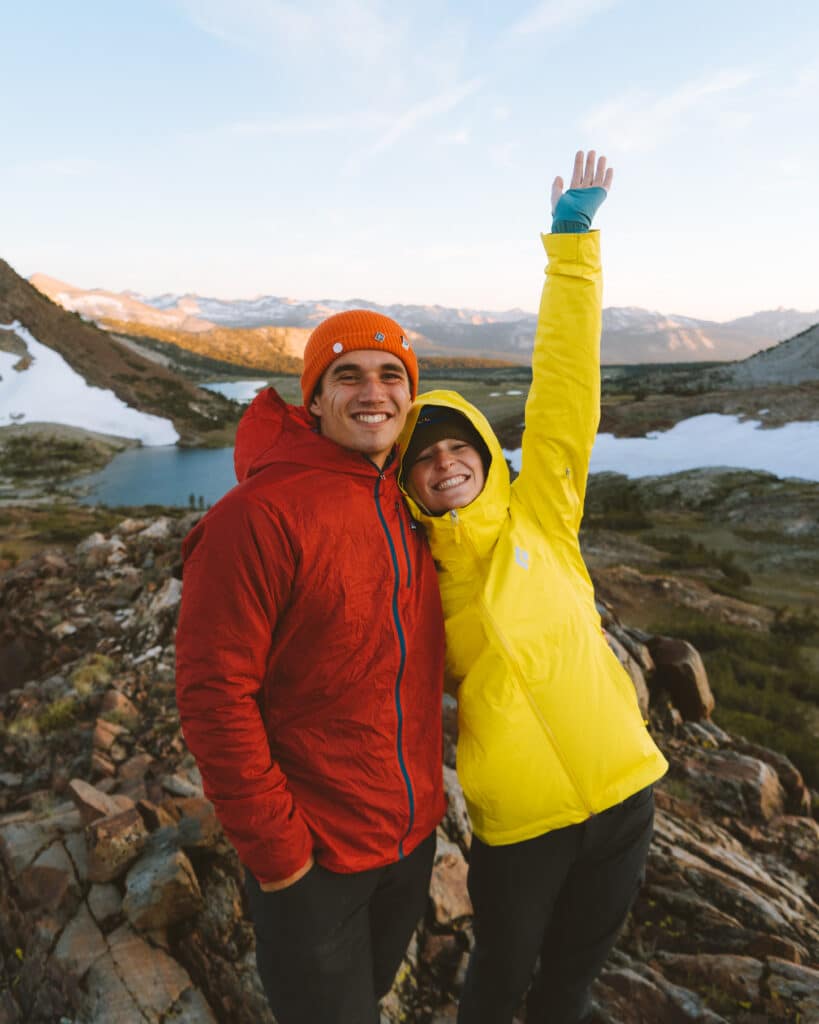
Utah Road Trip Itinerary Overview
Disclaimer: This post may contain affiliate links. Please see our Disclosure Policy and Advertiser Disclosure for details.

OVERVIEW WITH COORDINATES:
For more details on each location, make sure to check out our Youtube Channel and our microblogs on our Instagram!
Day #1:
- Sunrise – Bryce Rim Trail until 11am at latest
- Drive to Grand Staircase Escalante (1 hour 15 minute drive from Bryce)
- Drive to Capitol Reef 1 hour 2-3pm
- Drive to Cathedral Valley
- Sunset – Temple of Sun and Moon
- Drive to Campsite (Dispersed Camping right outside of park between Hanksville and park)
Day #2:
- Sunrise
- Check out Factory Butte (30 mins) (8:30)
- Drive to Goblin Valley State Park (Get there by 10)
- Three Sisters “Hike” (¼ Mile Hike)
- Explore Valley of Goblins (No Trail) | Valley #2 (Leave by 11:30)
- Drive to Arches (Get there by 1:30ish)
- Delicate Arch Hike (3 Mile Hike)
- Double Arch Hike (.6 Mile Hike)
- Windows Loop & Turret Arch Trail (1 Mile Loop | Best Time to Photograph Late Afternoon)
- Sunset – Dead Horse Point (Be Here by 7pm) (20 minute drive)
- Drive to Campsite
- Option #1 (30 Minutes from Sunrise): Lone Mesa Campground. Free. GPS: 38.6442, -109.8196. technically the closest of the BLM land at the park’s northern Island in the Sky entrance | only 15 minutes away from park
- Option #2 (42 Minutes from Sunrise): Dalton Wells Road Dispersed Camping. Free. Public Dirt Road. https://www.campendium.com/dalton-well-road. GPS: 38.7112, -109.7033
- Option #3 (45 Minutes from Sunrise): Willow Springs Trail. GPS: 38.6967, -109.6751. Free. https://www.campendium.com/willow-springs-trail.
Day #3:
- Sunrise Drive into Canyonlands
- Explore Rest of Island in the Sky
- Visit Mesa Arch: (.7 Mile Hike)
- Hike Grand View Point Overlook (2 Mile Hike)
- Drive to Valley of the Gods
- Drive to Monument Valley 3 hours
- Sunset – Monument Valley
- Drive to Campsite
- Option #1: Goosenecks State Park: (20 Mins away from Forest Gump Hill | 45 Minutes Away from Monument Valley) costs $10 a night for first come, first served campsites.
- Option #2: Valley of the Gods Camping: (37 Mins away from Forest Gump Hill | 1 Hour away from Monument Valley). You will find FREE BLM dispersed campsites all along Valley of the Gods Road which is located off of the U.S. Highway 163 (about 15 miles west of the town of Bluff, Utah or 7 miles north/east of Mexican Hat, Utah. You will see a sign for Valley of the Gods Road but there is no turn lane so keep an eye out and don’t be afraid to slow down as you get close. If you pass the turn, you’ll be traveling a good distance on U.S. Highway 163 with a fair amount of traffic before you can turn around. GPS: 37.264526, -109.931702.
Day #4:
- Sunrise – Monument Valley
- Explore Toadstool Hoodoos Trail (1.8 mile hike)
- Buckskin Gulch Hike via Wire Pass
- Explore Lake Powell | The Chains
- Visit Page and surrounding areas
- Sunset – Horseshoe Bend
- Drive to Campsite
- Option #1: Walmart Supercenter in Page (5 minutes away) | can stay in for one night
Day #5:
- Sunrise – Horseshoe Bend
- *Drive to Wire Pass Trailhead
- Drive South to Vermillion Cliffs on Scenic Route 89
- Stop at Marble Canyon Navajo Bridge
- Drive Highway 64 scenic view (if open)
- *potential Sedona
- Check out Grand Canyon area
- Sunset – Grand Canyon | Hopi Point or Mojave Point
- Drive to Campsite
- Option #1: Ten-X Campground (20 minutes away from Mather Point)
- Option #2: Our pick for boondocking outside of the park is Forest Road 302. Just south of the park entrance, it’s the closest option for free camping AND there’s cell service! (FREE!) (20 minutes away from Mather Point)
Day #6:
- Sunrise – Grand Canyon | Mather Point
- Hike South Kaibab Trail to Skeleton Point. Do not do whole thing just to Oh La Viewpoint
- Hike the Rim Trail to wherever we feel comfortable
- Check out Powell Point & Lipan Point
- Drive Home
For the full hiking/shot list, use the following Google Doc click here!
Posted in National Parks, Road Trips


This was really useful for planning our trip. Thanks!